Thursday 25 February 2016

The Village of Sayward

Located on the east coast of northern Vancouver Island, the community of Sayward has a population of approximately 400 and is just 45 minutes away from Campbell River


This picturesque area has an abundance of wildlife and offers fresh and salt-water fishing. Outdoor recreation includes caving, kayaking, hiking, whale watching and wildlife viewing. Robson Bight Provincial Park - west of Sayward in Johnstone Strait, provides ocean adventures. Overlooking Sayward is Mount H'Kusam, a popular hiking destination.

Travel time along Highway 19 to Sayward is under one hour from Campbell River in the south, and about 2 hours from Port Hardy to the north. The road winds through large stands of forest as well as passing lakes and rivers. 


Sayward is an affordable, family-friendly community with pretty homes and amazing scenery. With the city of Campbell River near by, it is a good option for people looking to live away from the bustle of urban life and yet still have access to city amenities and services when needed.
It's a Coastal Lifestyle ... Live It!

Thursday 18 February 2016

Mining Vancouver Island

While Vancouver Island is most commonly associated with the resource-based industries of forestry and fishing, the island also has a strong and deep history of mining.

Just this January, the last working coal mine on Vancouver Island closed down for an indefinite period of time. The Quinsam Coal Mine in Campbell River was shut down in the face of changing global economies and a decline in the demand for coal. Its closure marks the final end of an important part of Vancouver Island’s history.

Coal mining began on the island (and surrounding islands) in the 1800s, with the discovery of coal in the Nanaimo region. This initial discovery was facilitated by local First Nations, who noticed the coal that Hudson’s Bay Company employees used and offered the information that coal was available locally.

Mining jobs brought many people to the island and particularly areas of Nanaimo and Victoria were built upon the success of prominent mining families.

Mining became big business, first coal and then metals. The island is marked by the industry, with both small, abandoned mine sites and large decommissioned mine sites. Myra Mines, operating in Strathcona Park on central Vancouver Island, was the last of the large mineral mines to cease operations, with the mine being put on an indefinite shut-down in 2015. The ownership cites a downturn in global commodity prices for the shut-down, although the mine is not considered closed and keeps a skeleton crew on site to maintain environmental and safety standards.

There are still individual mine claims throughout the back country of Vancouver Island as well as on the smaller islands. Whether any of these are active is hard to determine. There are also still people who pan in the local rivers, hoping to find a gold nugget or two.


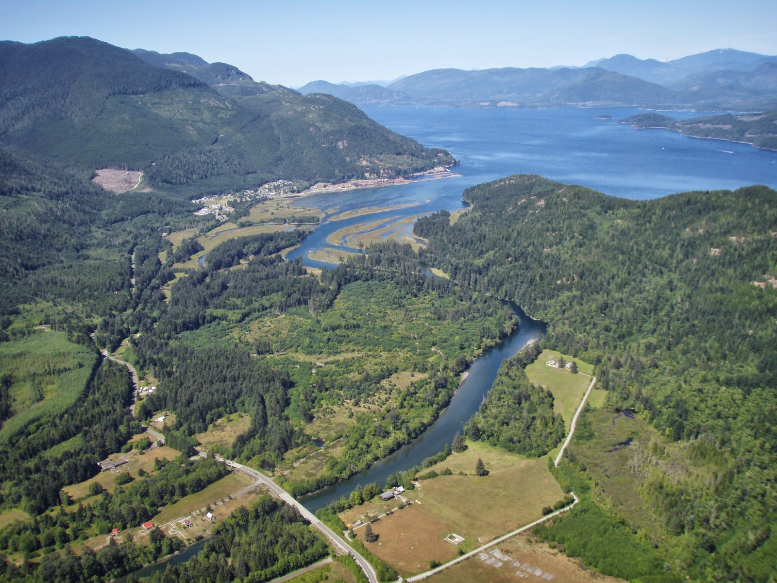
Properties that come up for sale in the more remote areas of the islands can be impacted by a mining background. Some may be actual mine sites, such as the property for sale near Benson River outside Port Alice. Others, such as the Quartz Bay property on Cortes Island, are at least partially made up of old mining claims.

Hatley and Cragidarroch Castles, the community of Cumberland, Newcastle Island, the IslandCopper Mine outside of Port Hardy, small mining relics and tailings piles, unused mining claims, the numerous dams around Nanaimo – all of these are part of the legacy mining has created in Vancouver Island.


It’s a Coastal Lifestyle … Live it!

Thursday 11 February 2016

Domestic Water on a Remote Property

For those living in a city or other residential area, domestic water is only really thought about when water restrictions are enacted. Otherwise it is hard to really think about where water comes from, when it is readily available at the turn of a tap.

For those who live outside the boundaries of cities and towns, domestic water can be one of the most important issues when establishing a home. Where will it come from? How will it be used? How much will be needed? All of these questions should be answered when considering a home on a remote or rural property. If the property already has a home in place, prospective buyers should be asking the same questions.

Domestic water outside of city water systems generally comes from three sources: groundwater through wells; surface water through springs, creeks or rivers; and rain water. (There are other options, such as desalination plants if one lives on the ocean or water delivery which many island communities use in the dry summers when wells and cisterns are empty.) Of these three, it is currently the use of surface water that requires a licence to access in BC.

The Water Act of BC defines what licencing is required and what that licence entitles one to. A licence will define where the water may be taken from, how much water will be taken and what the water will be used for.Information on applying for a domestic freshwater licence can be found here: http://www.env.gov.bc.ca/wsd/water_rights/licence_application/index.html

The BC Government is in the process of evaluating the Water Act and changing the laws to reflect licencing for non-domestic ground water usage. This is expected to become law early this year, and more on that can be found here:  http://engage.gov.bc.ca/watersustainabilityact/files/2015/07/LicensingGroundwaterUse-Web-Copy.pdf

It's a Coastal Lifestyle ... Live It!

Thursday 4 February 2016

BCO Coastal Gems: Jervis Inlet

Jervis Inlet is the principal inlet on the British Columbia Coast.  It  extends over 80 km into the Coastal Mountain range, through stunning granite-walled cliffs and forested mountains. This inlet is the deepest of British Columbia’s numerous inlets, reaching depths of over 720 meters or 2,400 ft., and is located about 95 km northwest of Vancouver The inlet was named by George Vancouver after Rear Admiral Sir John Jervis.

Like most other places on the BC Coast, Jervis Inlet was involved in the logging and fishing industries in the 19th and 20th centuries. It also has a history as a seasonal settlement for First Nations groups.
Access points and service centers include Egmont providing access to Sechelt and Vancouver as well as Saltry Bay which provides access to the Northern Sunshine Coast and Powell River.  There are no roadways into Jervis Inlet as this is one of many boat access areas of the central coast region. The remote location and breath-taking beauty make it an ideal location for outdoor enthusiasts.

It's a Coastal Lifestyle ... Live It!